
From a Richmond Address to an APN
A Richmond address question needs a fixed starting point. Begin with the exact Richmond address, then let each record system add one layer. The Contra Costa Assessor follows Richmond land and ownership. The Contra Costa GIS viewer follows Richmond parcel shape. The recorder follows named parties; elections data and reverse directories add controlled or historical clues.
The chain is address → APN → CCMAP → assessment roll → deed chain → voter route or criss-cross directory. That order keeps a nearby parcel or common-name deed from becoming a false match.
- Normalize the Richmond street line and check the city, state, and ZIP combination with the USPS address and ZIP lookup. Preserve an older form if a historic source uses a different number or street name.
- Enter the Richmond street address in ParcelQuest Lite, reached through the Contra Costa property-search launch page. Save the APN, situs, parcel area, and map link. Use APN search when a parcel has no street address.
- Open the Richmond property-tools gateway for CCMAP, search the address or APN, zoom to the parcel, and note the surrounding lots before moving on.
- Take the APN and situs to the Richmond public assessment roll or the Contra Costa Assessor counter. That is the access point for owner and tax-mailing information because the online parcel tools suppress owner names.
- Search the current Richmond vesting owner in RecorderWorks. Confirm the deed by legal description and instrument number, then use the grantor as the next name in the backward chain.
- Use California My Voter Status only for the authenticated voter. A qualified election, scholarly, journalistic, political, or governmental request follows the separate voter-file request route.
- For older households, read the Richmond street directory's criss-cross section. Record the year, number, name form, and any household clue without treating the entry as proof of present residence.
Note: A tax mailing address can point away from the situs, so record both fields before drawing a conclusion about a Richmond parcel.
Richmond Street Directory Records
Richmond custodians can be joined by APN, situs, document number, or date, but their records do not mean the same thing. The Richmond roll follows ownership, permits follow permitted activity, and directories follow printed entries. Together they form an address-keyed street directory with clear limits.
| Record Set | Keeper | What It Shows | Access |
|---|---|---|---|
| Richmond parcel and assessment roll | Contra Costa Assessor | APN, situs, values, owner and tax mailing address | ParcelQuest online; owner roll at counter or by request |
| GIS parcel viewer | County GIS and Assessor | Parcel outline, adjacent lots, map PDF, building size, aerials, contours, radius | Free CCMAP viewer |
| Richmond recorded documents | Contra Costa Clerk-Recorder | Grantor or grantee, instrument type, recording date, number, legal description | RecorderWorks from 1986; earlier indexes at the office |
| Richmond voter access | California SOS and Contra Costa Elections | Authenticated status or approved file address fields | Self-service or qualified-purpose request |
| Permits and code records | City of Richmond | Applicant, permitted address, scope, dates, status, and related parcel data | Online from May 1998; older cards by request |
| Richmond tax records | Contra Costa Tax Collector | Property-tax bill and payment status tied to the APN | County tax portal or office |
| Directories and maps | Richmond Library, Museum, and CCCHS | Historic adult address entries, street indexes, maps, and context | Digital viewing, appointment, or onsite research |
Check each identifier against another. An APN links a Richmond map to the roll, a legal description links the roll to a deed, and a Richmond street number links a parcel to a permit or older reverse directory. No row alone is a household list.
ParcelQuest Fields for Richmond Streets
ParcelQuest Lite is Richmond's first county tool for an APN or street address. Its property gateway links to CCMAP, GIS downloads, and the owner-name explanation. A Richmond parcel result is a land record, not a resident record.
| Field Label | Type | Required | Format Notes |
|---|---|---|---|
| APN | Text | Alternative | Contra Costa Assessor parcel number for Richmond; useful for parcels without a situs address |
| Street Address | Text | Alternative | Richmond house number and street; spelling and number form can affect a match |
| City | Text or dropdown | With address as needed | Use Richmond as a postal clue, then verify jurisdiction |
| Search or Reset | Button | Not applicable | Run or clear the search |
A Richmond parcel card can show APN, situs, land or use code, lot area, building size, year built, assessed values, characteristics, and a parcel-map link. Owner and mailing fields are absent online. Richmond APN search is more dependable for vacant, shoreline, or oddly shaped parcels.
CCMAP Clicks Along Richmond Streets
CCMAP turns a Richmond address into a parcel record. From the county maps and property-information page, open the viewer, enter the address or APN, zoom, and click the parcel. The panel can lead to assessor-map material. Parcel outlines, aerials, contours, and nearby lots show whether a Richmond street number sits on the expected tract.
For a Richmond street-by-street pass, start with one valid house number, pan along the segment, and click each parcel in turn. Record Richmond APNs and situs values rather than relying on visual order. CCMAP also offers radius selection; the county separately lists a paid counter radius search.
CCMAP is strong at Richmond geography and weak at people. It can reveal an adjacent Richmond lot or a street ending at a right-of-way, but it does not supply a household roster or owner names. Let the map control the Richmond street directory's later record search.
Why Richmond Street Owner Names Vanish Online
Contra Costa omits Richmond owner names from its internet parcel tools. It cites statutory home-address protections for covered officials, so the web view shows property detail without that field. The distinction is useful: “no web owner” does not mean “no public roll.”
The Richmond assessment roll remains available through the public Contra Costa Assessor counter or a properly framed request. Bring the APN, situs, and exact fields needed. A roll printout can connect an address to an owner and tax-mailing destination, but it cannot establish who is physically present.
Note: Web suppression protects home-address interests; it does not erase the Richmond public roll or parcel identifier.
Richmond Situs Versus Mailing Address
A Richmond situs is the physical location assigned to a parcel. A Richmond mailing address is where a tax bill or other notice is sent. Those fields can differ without error. A Richmond owner may receive mail elsewhere, a parcel may have no normal street delivery, or a postal city line may describe a nearby unincorporated area.
- Parcel
- A distinct land unit identified in county property systems for Richmond, usually by an APN.
- Situs address
- The Richmond physical address or location assigned to the land or improvement.
- Plat
- A recorded map that lays out subdivision lots, blocks, streets, and related lines.
- Criss-cross directory
- A reverse street tool that starts with a house number or address and lists a resident or business entry.
Keep situs, mailing, legal description, and Richmond postal ZIP separate. A different Richmond mailing address may show owner and premises are not the same place, but it does not prove a household. Corner and rear lots make the map the better check.
Richmond Street Deeds and the 1986 Cutoff
The Contra Costa RecorderWorks search for Richmond provides a free party-name index from 1986 forward. Richmond recorded deeds, deeds of trust, reconveyances, liens, notices, and maps are grouped by indexed name, document type, and recording date. Copies or certified products are ordered separately.
Richmond RecorderWorks is not address-first. Start with the current Richmond vesting owner; confirm the instrument by legal description, APN, document number, or lot and block. On the acquisition deed, search the grantor next. Name variants matter, but the Richmond legal description is safer.
Index record fields: indexed party name, party role, document type, recording date, instrument number, book and page where applicable, related legal description or APN where indexed, and a control for ordering a copy.
Pre-1986 Richmond Street Deeds Need a Fallback
The Richmond 1986 online boundary is a portal boundary, not the beginning of Richmond title history. Earlier Richmond indexes and images are available through the Contra Costa Clerk-Recorder office in Martinez. Grantor and grantee books, deed books, lot references, and legal descriptions are the bridge when a street name returns no result.
For deeper context, the Contra Costa County Historical Society collections include annual assessment books from 1850 through 1910, historic court material from the 1850s into the mid-20th century, and maps that can place an older Richmond parcel. They support a title trail but do not replace the deed index.
- Carry the APN, current legal description, subdivision, lot, block, and any historic Richmond street form to the earlier index.
- Search the last known Richmond owner as grantee, then search the seller as grantor and verify each deed against the same legal description.
- Compare the deed interval with assessment books, historic maps, and Richmond directory years so a changed number is not treated as a new parcel.
- Request an existing index entry, image, or copy, not open-ended research.
Richmond Street Permits Since May 1998
Richmond’s online building, code-enforcement, and engineering permit material begins in May 1998. Richmond address and parcel searches can expose an applicant or contractor, the permitted work, issue and final dates, status, and related valuation. Those details date Richmond changes to a place. They do not show who lives there, and an applicant is not automatically an owner or occupant.
For an older Richmond permit card, use Richmond’s NextRequest public-records portal or contact the Building Division or City Clerk through the city’s listed channels. State the exact Richmond street address, APN, known owner at the time, and date. The CPRA normally calls for a determination within 10 calendar days, with a written 14-day extension for unusual circumstances. Ask for existing records, not answers.
Criss-Cross Directories Read Richmond Streets
A Richmond criss-cross directory reverses the usual name-first order. Instead of starting with a surname, find the Richmond street heading, house number, or crossing-street break, then read the person or business entry tied to that Richmond location. The Richmond Museum holdings date from 1907; for the collection shelf and reading conventions, see the Richmond Directory Book. The Museum research room and Richmond Public Library local-history collection offer onsite and digital paths.
Record the volume year, number, name spelling, and any household clue. Check the Richmond address in nearby years. A first appearance can mark a window; a missing entry can reflect an omission, number change, or move. Pair the reverse section with deeds, assessments, newspapers, or census schedules.
When a Richmond street find turns into a question about one person, the Richmond resident lookup path can help compare a historic name with a dated court, business, license, or vital-record trail.
Postal Richmond Streets Need Jurisdiction Checks
USPS assigns delivery routes; Richmond and Contra Costa offices maintain different kinds of land and service records. North Richmond is unincorporated even though it can use Richmond postal language. Richmond Annex sits at the city’s southern edge near El Cerrito and Albany. ZIP 94806 is a clear example of a postal area that crosses Richmond, El Sobrante, and nearby county geography.
Verify a Richmond street search with four fields: situs, APN, municipal jurisdiction, and postal ZIP. A Richmond mailing line can point outside city permit or neighborhood-council coverage. The USPS city and state lookup confirms delivery information, not municipal boundaries.
Note: A PO-box or special-use ZIP is not evidence of a Richmond residential street; verify the address itself before choosing a records custodian.
A Richmond Street Map Bridges Time
Richmond incorporated in 1905, and its street records grew with neighborhood expansion. The Richmond Museum directory shelf begins in 1907, while Contra Costa County assessment books reach 1850. The Contra Costa historical society reports 1,700+ maps and 20,000 cataloged images, giving Richmond address research a visual layer when a label changes.
The digitized Richmond street-index map is a useful historical cross-check for street names, numbers, and neighborhood continuity.
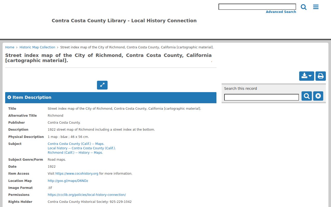
Use the Richmond map as a historical frame, not a current APN. No single citywide Richmond renumbering year is verified. For a doubtful Richmond number, compare the legal description, lot, block, deeds, and adjacent parcels.
What a Richmond Street Directory Cannot Show
A Richmond street directory cannot prove every person who occupies a Richmond building. Richmond parcel and deed records identify ownership or named parties. Richmond permit records identify a project applicant or contractor. A historical directory may identify an adult resident or business at a printed date. Richmond voter information is authenticated or released only through controlled statutory access, not a public browse-by-street tool.
Richmond utilities, DMV, delivery, and customer files are not public address directories. Household members may never appear. Safe at Home participants and other protected voters may be absent or redacted. A missing Richmond name is not proof of past residence, and an old name is not proof of present residence.
Lawful personal use. Richmond address records can support family history, property research, reconnecting, or scam awareness. Using them to stalk, harass, intimidate, or harm any person is prohibited and can violate California law.